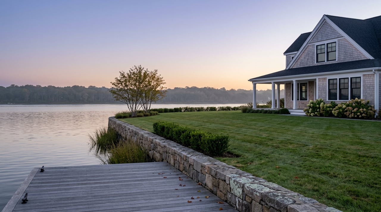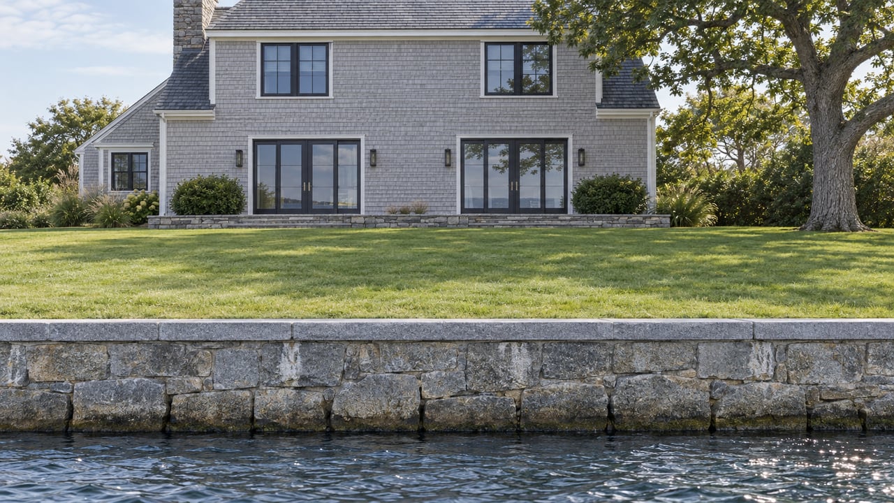
The Stamford Hurricane Barrier was built between 1965 and 1969 for $14.5 million, and the Army Corps of Engineers credits it with preventing an estimated $83.9 million in flood and storm damage since it went into service. It closes about 15 times a year on average, most often in January, sealing off Stamford Harbor when a surge is coming. The gate sits at a specific spot in the water: the line between the South End and Shippan.
That line matters more than most people comparing "Stamford waterfront" listings realize. Everything landward of the barrier, including the South End, Waterside, and the Mill River and Rippowam corridors through Glenbrook and Newfield, gets a measure of storm surge protection when the gate closes. Shippan Point does not. Neither does Cove Island. Both sit on the open-water side, which is why FEMA maps them in Zone VE, the coastal high-hazard category reserved for shoreline exposed to breaking waves, while the protected side sits in the milder Zone AE. Same city, same hurricane barrier program, two different flood designations, and two different sets of costs attached to owning there.
Why the Zone Letter Isn't a Technicality
FEMA draws the AE and VE line based on wave action, not just water depth. Zone AE covers areas with a 1% annual chance of flooding where wave heights stay under three feet. Zone VE covers the same annual flood chance plus the added force of storm-driven waves, which is why construction in a VE zone typically has to be elevated on pilings, with nothing load-bearing built on fill that waves could wash out from under it. A house in an AE zone can often meet code sitting on a properly elevated slab. A house in a VE zone generally cannot.
That construction difference is also a pricing difference for flood insurance, and it isn't small. One Connecticut flood insurance broker's published example quotes show the gap directly: a policy in a Connecticut AE zone priced at roughly $3,363 a year for $250,000 of coverage, against a VE-zone policy on comparable terms priced at roughly $12,278 a year. The private flood market can undercut the AE-zone NFIP number substantially, with one example quote coming in near $864 for equivalent coverage and a bit more loss-of-use protection. Whether a specific VE-zone property in Shippan Point can find similar private-market relief is a question for a broker who underwrites coastal Connecticut homes, not something to assume from a blended average.
And the blended average is exactly the trap. Statewide sources put average residential flood insurance in Connecticut's coastal AE and VE zones above the roughly $2,200 state average, and one estimate puts Stamford's citywide average NFIP premium around $1,065 a year, a number that only makes sense once you realize it's mixing Shippan Point's VE-zone waterfront in with inland Zone X homes that don't carry mandatory flood coverage at all. A buyer who anchors on a citywide number and then gets a real quote on a Shippan Point address is not looking at a fluke. They're looking at what the number was always going to hide.
What the Barrier Actually Buys the Other Side
None of this makes the protected side of the barrier immune. The barrier reduces surge risk for the South End and nearby sections when it closes, but it doesn't eliminate risk from rainfall, drainage backflow, or a storm large enough to overtop it. Harbor Point, the roughly 80-acre mixed-use redevelopment now built out along the same stretch of harbor with several thousand residential units, sits on the protected side of that line, which is part of why its flood exposure reads as more moderate than Shippan's in coastal risk assessments, even though both are marketed as Stamford waterfront living.
That distinction is worth carrying into any side-by-side comparison of Stamford's waterfront neighborhoods. A condo at Harbor Point and a house on Shippan Point can sit less than a mile apart and still answer to two different flood maps, two different construction standards, and two different insurance conversations at closing. Price per square foot won't tell you which side of the barrier you're buying into. The FEMA panel for the parcel will.
The Barrier's Own Timeline Is Still Moving
The barrier itself has been a live story since October 2022, when the Army Corps got reports of unusual sounds and vibrations coming from the gate. A subsequent inspection found a potentially fractured hinge pin, and by 2024 the city's public position, echoed by Mayor Caroline Simmons' office, was that repairs would begin in the second half of 2026, with the harbor closing during construction while crews built a cofferdam to work on the gate in dry conditions.
That timeline has since slipped. As of the Army Corps' most recent public update in August 2026, construction is now targeted for 2027, not 2026, with the district's Regional Rivers Repair Fleet handling the work. Project manager Lauren Jacobs, P.E., laid out the reasoning for the specific window under consideration:
"Based on historical operating conditions and typical seasonal weather patterns, the safest window for removing the barrier and minimizing risk to the city is from late April through early July, after the nor'easter season and before the onset of hurricane season."
The Corps has been clear that the barrier remains fully functional in the meantime. For a Shippan Point buyer, the practical takeaway isn't alarm, it's that the repair schedule is not yet fixed, and anyone closing on a barrier-adjacent property in 2027 should build in time to check the current public information sessions the district holds before finalizing a purchase timeline.
What This Means Before You Write an Offer
None of this changes what makes Shippan Point worth buying into. It changes what due diligence should look like once you've decided to.
- Confirm the parcel's actual FEMA zone before assuming anything from the neighborhood name. Shippan Point and Shippan are not always the same line item on every data source, and a property a few streets apart from another can carry a different flood designation. The FEMA Map Service Center is the source to pull, not a listing sheet.
- Get an elevation certificate, or ask the seller for a current one, before you assume a quote. Risk Rating 2.0 weighs 18 variables now, including first-floor height relative to the ground, foundation type, and distance to water, so two VE-zone houses on the same street can price very differently.
- Get both an NFIP quote and at least one private flood carrier quote side by side. The gap between them can be the difference between a manageable annual cost and a real strain on the deal.
- If you're closing on anything near the harbor side of the barrier heading into 2027, ask about the current repair schedule before you lock a closing date. Stamford's official flood resources page also has flood zone determination requests and elevation certificate guidance if your lender needs documentation fast.
Buyers who are serious about Shippan Point can start by looking at what's currently listed on the peninsula and working the flood question in from there, rather than after an accepted offer.
A Few Common Questions
Does being in Zone VE mean a property has flooded before? No. FEMA zones reflect modeled future risk based on elevation, wave exposure, and storm data, not a property's flood history. A house with no past claims can still sit in Zone VE if its elevation and location put it there.
If I'm paying cash, do I still need to think about the flood zone? Financing is what triggers the mandatory insurance requirement, but the exposure itself doesn't disappear without a mortgage. Cash buyers on Shippan Point still carry the same wave and surge risk, and skipping coverage just moves that risk from an insurer's balance sheet to the owner's.
Can a Shippan Point property ever be remapped out of Zone VE? It's uncommon. A Letter of Map Amendment can move a property out of a high-risk zone if a survey proves it sits above the base flood elevation, but VE designation is driven by wave action as much as elevation, which makes it a harder case to make on an open peninsula than it would be a few blocks inland.
If you're weighing a purchase or a listing on Shippan Point and want the flood zone and insurance picture worked through before you're deep into a contract, Joshua Weisman can walk you through what a specific parcel's FEMA designation actually means for your carrying costs, well before it becomes a closing-week surprise.